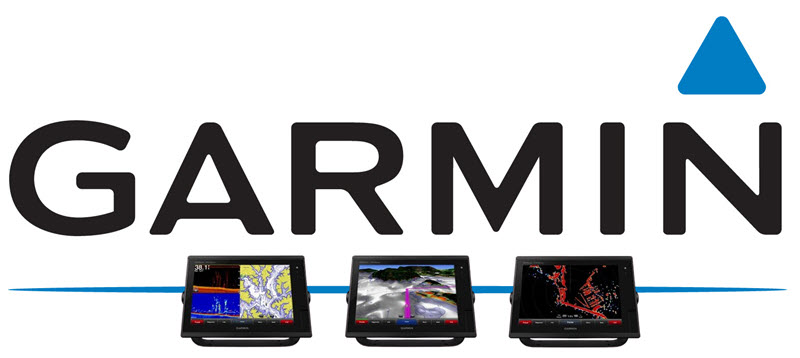
The feature-packed Garmin GPSMap Multi-Touch 7400/7600 Series seamlessly integrates cutting edge sonar and chartplotting technology. An excellent choice for cruising, sportfishing, sailing, and racing vessels, this high-performance sonar and chartplotter combination is easy to operate. The bright, multitouch widescreen display of the Garmin 7400/7600 Series provides fast access to built-in CHIRP sonar, including CHIRP ClearVu and SideVu scanning sonar, delivering the clearest images on the water. Fully network capable, it offers convenient Garmin Network, NMEA 2000, and Wi-Fi connectivity.
Request An Estimate Call Us 772.485.0097
Cutting Edge, Built-In Sonar
Garmin Chartplotter Sonar GPSMap Multi-Touch 7400/7600 Series comes equipped with the industry’s most sophisticated sonar technology, including 1 kW dual CHIRP sonar, CHIRP ClearVu and SideVu scanning sonar, providing nearly photographic imagery of fish and underwater structures. The system also offers ultra-fast GPS capabilities, featuring an internal 10 Hz GPS. Refreshing your position and heading ten times per second, on-screen movement is fluid and accurate, allowing you to drop precise waypoints for a fast return.
Panoptix Transducer Technology
Panoptix transducer technology offers three extraordinary views, allowing you to see fish surrounding your boat in real-time, even when stationary. LiveVu Down and LiveVu Forward technology show real-time moving sonar images below and in front of your boat. RealVu 3D Down and RealVu 3D Forward scan the water below and in front of your vessel, providing updates with a single ping. As you move through the water, see the history of every fish that has passed under your boat, viewing entire water columns behind your vessel with RealVu 3D Historical Sonar.
Preloaded with BlueChart g2 and Garmin LakeVu HD Coastal Maps
Quickly access BlueChart g2 and Garmin LakeVu HD coastal maps, viewing them on your multitouch widescreen display. Smoothly transition between zoom levels and enjoy seamless continuity across chart boundaries with BlueChart g2, accessing current, depth, tidal station, fishing chart data, and more. Favor freshwater adventures? Garmin LakeVu HD coastal maps include data on over 17,000 US water bodies, including more than 13,000 HD lakes.
The Garmin GPSMap Multi-Touch 7400/7600 Series allows you to customize your screens. Choose 2D direct overhead or 3D “over-the-bow” map views for easier chart reading and orientation. Use safety shading to denote safe depth. Reduce visual clutter on fishing charts, emphasizing bathymetric contours. The excellent detailing of underwater features, shallow water shading, and identification of key landmarks and points of interest allows you to navigate with ease.
Fully Network Capable
Connect your Garmin GPSMap Multi-Touch 7400/7600 Series via the Garmin Marine Network, NMEA 2000, or Wi-Fi. Share data with other compatible GPSMAP units, including radar, autopilot, black box sonar, and more, syncing with other chartplotters in the network.
Array or Dome Radar Compatible
Add your choice of open array or dome radar to your GPSMAP MultiTouch 7400/7600 Series Chartplotter (sold separately), choosing from Garmin’s powerful xHD2 open array radars or easy to use xHD dome radar systems.
Exclusive Features
Take advantage of exclusive features, enjoying a more fruitful voyage with the Garmin GPSMap Multi-Touch 7400/7600 Series Chartplotter:
- Sailing Specific Features
Access need-to-know sailing features at a glance, including race timers, layline data, course-over-ground lines, true wind, apparent wind angle, and speed. Set customizable fields wind rose, tide/current/time slider, horizontal or vertical graphs, data bar, and more. - ActiveCaptain
Manage your marine experience from anywhere on your boat via your smartphone or tablet, accessing ActiveCaptain via Wi-Fi. Plan a trip, purchase maps, prefish, drop waypoints, or connect with the Quickdraw Contours boating community. - Quickdraw Contours
Instantly create your own personalized HD fishing maps with 1-foot contours with this free, easy to use software, keeping them to yourself or sharing them with the Quickdraw community on Garmin Connect. - Fusion-Link Entertainment System Compatibility
Control compatible Fusion-Link audio systems directly from your chartplotter display. - Axis, FLIR, and Garmin VIRB X and XE Camera Support
The GPSMap Multi-Touch 7400/7600 Series also supports select Axis, FLIR, and Garmin VIRB X and XE camera systems you choose to integrate for surveillance, situational awareness, or recording live action. - GND 10 Black Box Interface
Seamlessly integrate Nexus instruments and sensors, such as gWind transducers, ensuring the trouble-free conversion of data between the Nexus network and NMEA 2000. - Expandable Memory for Enhanced Maps & Auto Guidance Use
Two SD card slots offer added memory accessory map purchases, including those that work with patented Garmin Auto Guidance technology.
Request An Estimate Call Us 772.485.0097
Are you looking for the ultimate in performance? Contact J-TEK Marine to learn more about the Garmin GPSMap Multi-Touch 7400/7600 Series chartplotter and sonar combo today.